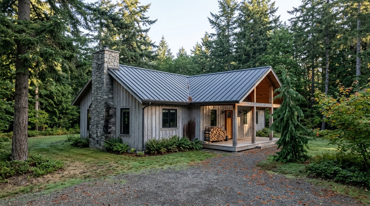
In Skamania County, Two Nearly Identical Parcels Can Sit on Opposite Sides of an Invisible Line
September 3, 2026
September 3, 2026
Two five-acre lots go up for sale within a few miles of each other in Skamania County. Both have river frontage. Both are wooded, both are priced close enough that a buyer comparing them side by side would call it a coin flip. One clears a building permit through the normal county process. The other needs a Key Viewing Area analysis, a cultural resource survey, and a design that reads as "visually subordinate" to the surrounding hillside before a foundation gets poured, according to Skamania County. The difference has nothing to do with soil, slope, or school district. It comes down to whether the parcel sits inside one of four small boundaries the federal government drew in 1986 and hasn't moved since.
That boundary, not the town line, not the river, is the real divide running through Skamania County real estate.
The Columbia River Gorge National Scenic Area Act, signed in 1986, covers land across six counties on both sides of the Columbia River. Within that footprint, the Act and the regional management plan carved out a small number of designated urban areas where the usual land use rules apply and the Scenic Area's design and resource review does not. In Skamania County those urban areas are Stevenson, Carson, North Bonneville, and Home Valley, and together they account for something close to 8,000 unforested acres in a county that covers roughly 1.1 million acres of land in total, most of it federal forest and Scenic Area land that sits outside those four small pockets.
Step outside that boundary, even by a few hundred feet, and you're in what the county and the Columbia River Gorge Commission call the general management area. A U.S. Department of Energy review of a routine utility upgrade near Carson makes the point almost by accident: the project was cleared without further Scenic Area review specifically because the site fell "within the boundary of a designated NSA Urban Area where no further NSA consideration is required." The same pole and line sited a short distance away, outside that boundary, would have triggered a different process entirely.
Skamania County administers its own version of this rule through Title 22 of the county code, revised and in effect since July 13, 2022 to incorporate the Gorge2020 update to the management plan. If you're evaluating raw land or an older property here, that ordinance, not the list price, tells you what you're actually buying.
Land inside the Scenic Area's general management area isn't off-limits to development. Most applications get approved. But almost every structural project and any ground-disturbing activity has to clear a review most buyers from outside the region have never encountered:
None of this shows up in a listing photo. It shows up in the closing timeline, and for a buyer planning to build, remodel, or subdivide, it can add most of a year to a project that would take weeks almost anywhere else in Southwest Washington.
| Inside a designated NSA urban area | Outside the boundary (general management area) | |
|---|---|---|
| Permitting authority | County planning department, standard process | County planning department plus Scenic Area review |
| Typical timeline for new development | Comparable to standard county permitting | 7 to 9 months standard, 3 to 4 months for a limited expedited list |
| Exterior color changes | No Scenic Area sign-off required | Requires approval if the structure was built after 1986 and approved under Scenic Area rules |
| Design requirement | None tied to scenic visibility | Must be visually subordinate if visible from a Key Viewing Area |
Pull two respected sources on Skamania County home values this year and you'll get two different stories. Redfin's tracker put the county's median sale price at $733,000 over the three months ending in June 2026, up 6.2 percent year over year, with homes taking an average of 40 days to sell compared to 27 days the year before. Zillow's Home Value Index, updated at the end of July 2026, put the average home value at $567,253, down 1.3 percent year over year.
That's not a rounding error. It's a symptom of a small market where a handful of unrestricted, urban-area or pre-1986 properties can sell at a premium in the same window that heavily-restricted rural acreage sits and waits, and both feed into the same countywide number. A city-level breakdown from one national listing aggregator shows Underwood carrying the highest median listing price of any city in the county while Carson runs among the most affordable, a gap that has as much to do with where each falls relative to the Scenic Area boundary and its urban-area carve-outs as with square footage or lot size.
If you're comparing Skamania County to a neighboring county on median price alone, you're comparing two numbers that don't measure the same kind of buildability.
For landowners thinking about dividing acreage, the county layers a second set of rules on top of the Scenic Area review. Skamania County's planning department will not approve a division that creates lots without adequate buildable area, and the path you take depends on how many lots you're creating.
That last line matters more than it looks. A landowner splitting 80 acres of unrestricted timberland into four 20-acre parcels faces a straightforward county process. The same split attempted on land in the general management area adds the full cultural, natural, and scenic review on top of the standard county process, and the timeline stacks accordingly.
Skamania County also regulates wetlands, fish and wildlife habitat, aquifer recharge areas, and geologically hazardous areas under Title 19 of its code, with no-touch buffers that apply regardless of where a parcel sits relative to the Scenic Area. Some of these same resources get a second layer of protection under Title 22's natural resource standards if the property is also inside the Scenic Area. A buyer doing due diligence here isn't checking one county code section. They're checking at least two, and sometimes a third if state agencies get pulled in for a rare plant or sensitive species review.
None of this means Skamania County is a hard place to buy or build. It means the question worth asking before you fall for a view or a river frontage isn't "what's the price per acre." It's "where does this parcel sit relative to the urban area boundary, and has anyone confirmed that with the county planner." A five-minute call to the Community Development Department, or a conversation with someone who already knows which side of the line a given road or subdivision falls on, tells you more about your real timeline than any comparable-sales sheet.
This is the kind of due diligence that comes up constantly in land transactions across Southwest Washington, and it's part of why Woodland Real Estate built out Accredited Land Consultant expertise and a seat on county planning discussions rather than treating every listing as a standard residential sale. Parcel evaluation here means checking the boundary, not just the survey.
Does buying an already-built home inside the Scenic Area trigger a review? No. Existing structures aren't subject to new review unless you're adding, changing exterior color on a post-1986 building approved under Scenic Area rules, or undertaking new ground-disturbing work.
Can I still subdivide land that falls inside the Scenic Area? Yes, but expect the standard Short Plat or Subdivision process plus the additional steps the county requires for any land division inside the National Scenic Area boundary.
How long should I budget for a permit on a new accessory building or deck? If the parcel sits inside a designated urban area, expect a standard county timeline. If it sits in the general management area, budget for the seven to nine month standard review unless your specific project qualifies for the county's short expedited list.
If you're weighing a parcel, a waterfront lot, or an older home anywhere in Skamania County and want a straight read on which side of the boundary you're actually looking at, Woodland Real Estate is glad to walk through it with you. Let's Connect.
This article is general information, not legal, tax or financial advice. Consult a qualified professional about your situation.
We understand that buying or selling a property is more than just a transaction: it’s a life-changing experience. That’s why our team of highly seasoned real estate professionals is dedicated to providing exceptional, personalized service for all of our clients.